
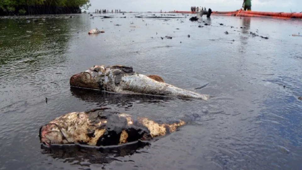
Nigeria is a Coastal Country with vast natural reserve of crude oil and natural gas being explored largely off and nearshore. Exploration and mining of these resources expose and cause harm to natural/living resources. The need for Environmental Sensitivity Index (ESI) implementation by industrial players in the upstream oil and gas sector cannot be overemphasized. ESI is a widely used system for ranking and classifying shoreline sensitivity based on characteristics such as degree of wave energy, potential penetration of oil into the substrate, and natural oil retention times of the shore type. This type of information is crucial to mitigate the potential impact of an oil spill.
One way to display the result of ESI is via ESI maps which provide concise summary of coastal resources that are at risk if an oil spill occurs nearby. Examples of at-risk resources include biological resources (such as birds and shellfish beds), sensitive shorelines (such as marshes and tidal flats), and human-use resources (such as public beaches and parks).
Shoreline characterization using the ESI classification system also identifies other potentially sensitive features from a socioeconomic perspective, including human use, wildlife use, industry activities, and fishery resources using standard symbology.
In EcoPro, we have developed techniques to acquire, examine, and interpret high-resolution, georeferenced satellite imagery for assigning ESI shore types and features using Geographic Information Systems (GIS) software.